Resilient Rivers: Lockyer Catchment Action Plan
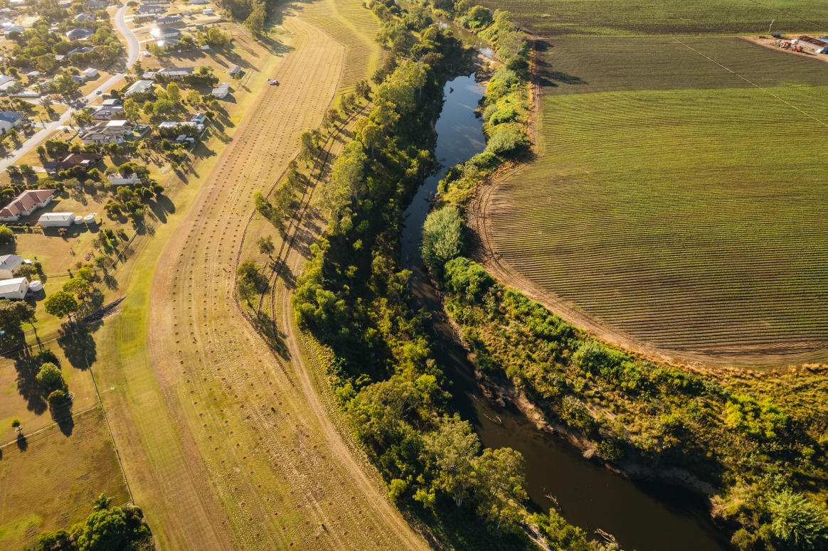
Image: Greening Australia

Wildlife next boxes installed at Lake Apex by FOLA.
- Community group collaboration and support such as collaborating on local conservation projects and initiatives, and providing assistance to 'friends of' groups, such as installing wildlife nestboxes at Lake Apex.
- Collaboration with non-profit organisations, such as:
- BirdLife Southern Queensland on quarterly bird surveys.
- Wildlife Preservation Society Queensland on their Greater Brisbane Platypus eDNA Survey Project through regular water sampling to better understand platypus populations around the Lockyer.
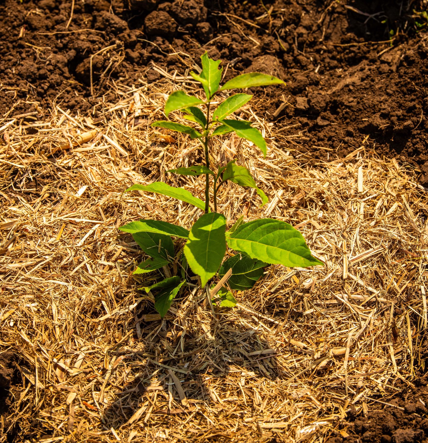
- Lockyer Uplands Catchments Inc on the Bunyas to Border project through collaborative revegetation and habitat restoration, and installation of supplementary habitat such as wildlife drinker Tree Troffs.
- Working with NRM groups such as Healthy Land & Water to maximise conservation efforts in the region. Some key projects include:
- SEQ Koala Threat Management Initiatives Program - Koala awareness through workshops and around roads with LMS signs.
- Involvement in species research and university initiatives such as supporting research across Council-owned reserves.
- Promotion of Cultural Burning through workshops and collaboration on organised burns in Council-owned reserves.
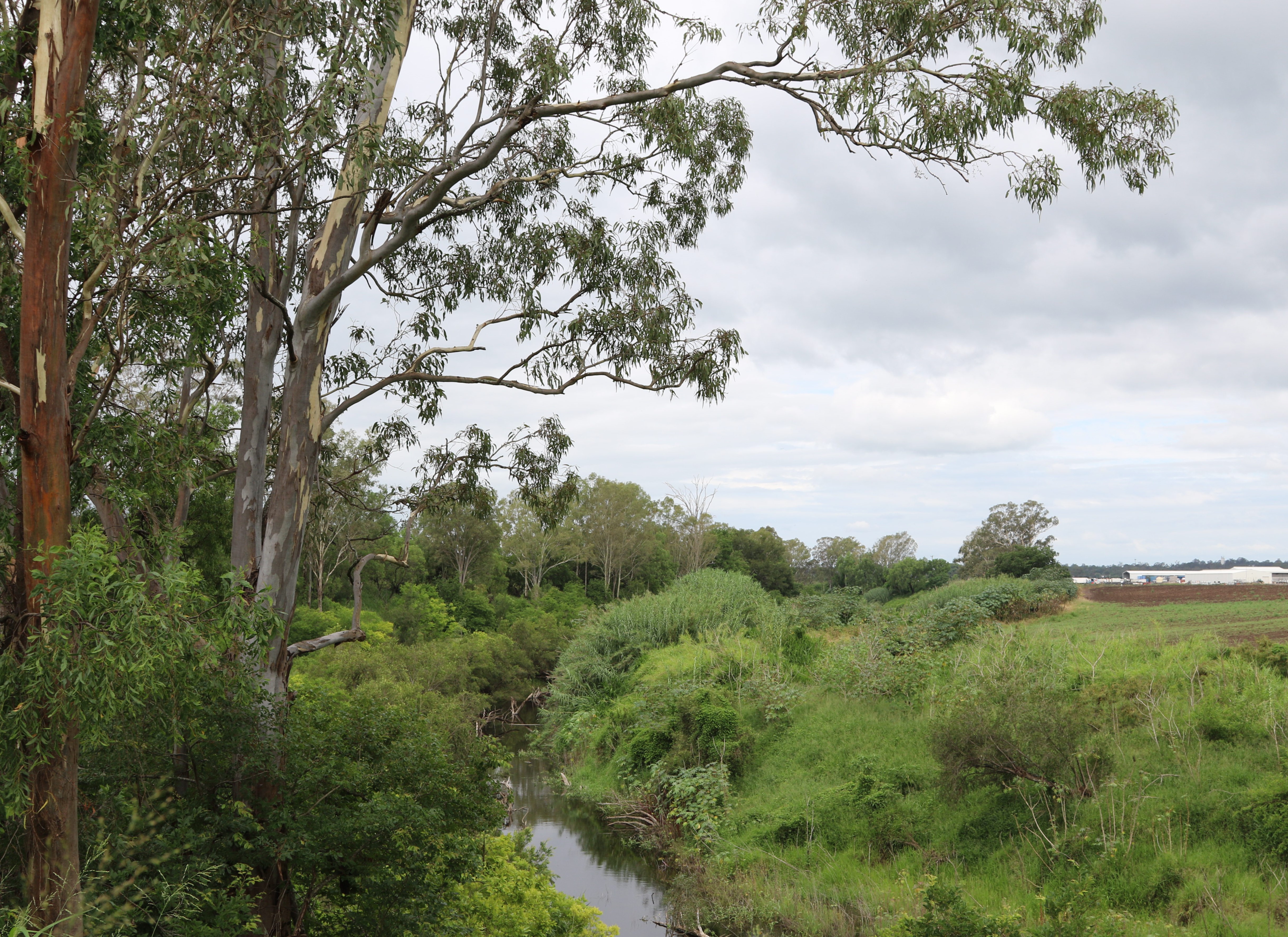
- Weed control, including biocontrol, in priority and riparian locations, particularly of Lantana and Cat's Claw (Uncaria tomentosa). LVRC also offers weed subsidy programs to help landholders combat weeds.
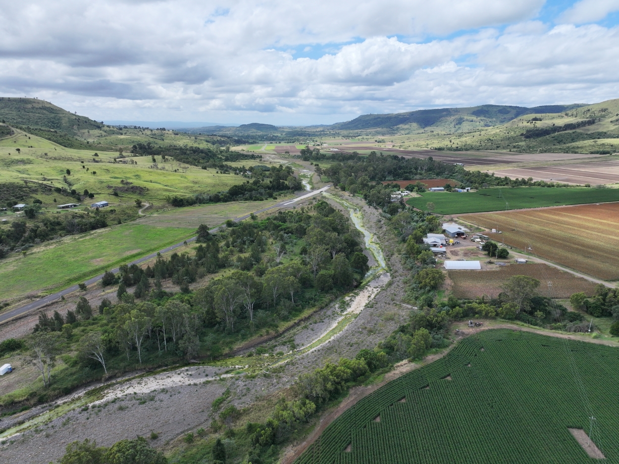
- Water quality monitoring at numerous creek locations across the catchment.